New Zealand Gold Prospecting & Metal Detecting Forums Archive
The forum has moved to community.paydirt.co.nz, see you there!
This forum is now an archive to preserve the knowledge and finds posted here.
Old Paydirt Forum Archive
»
Gold Prospecting, Fossicking and Mining
»
Locations
»
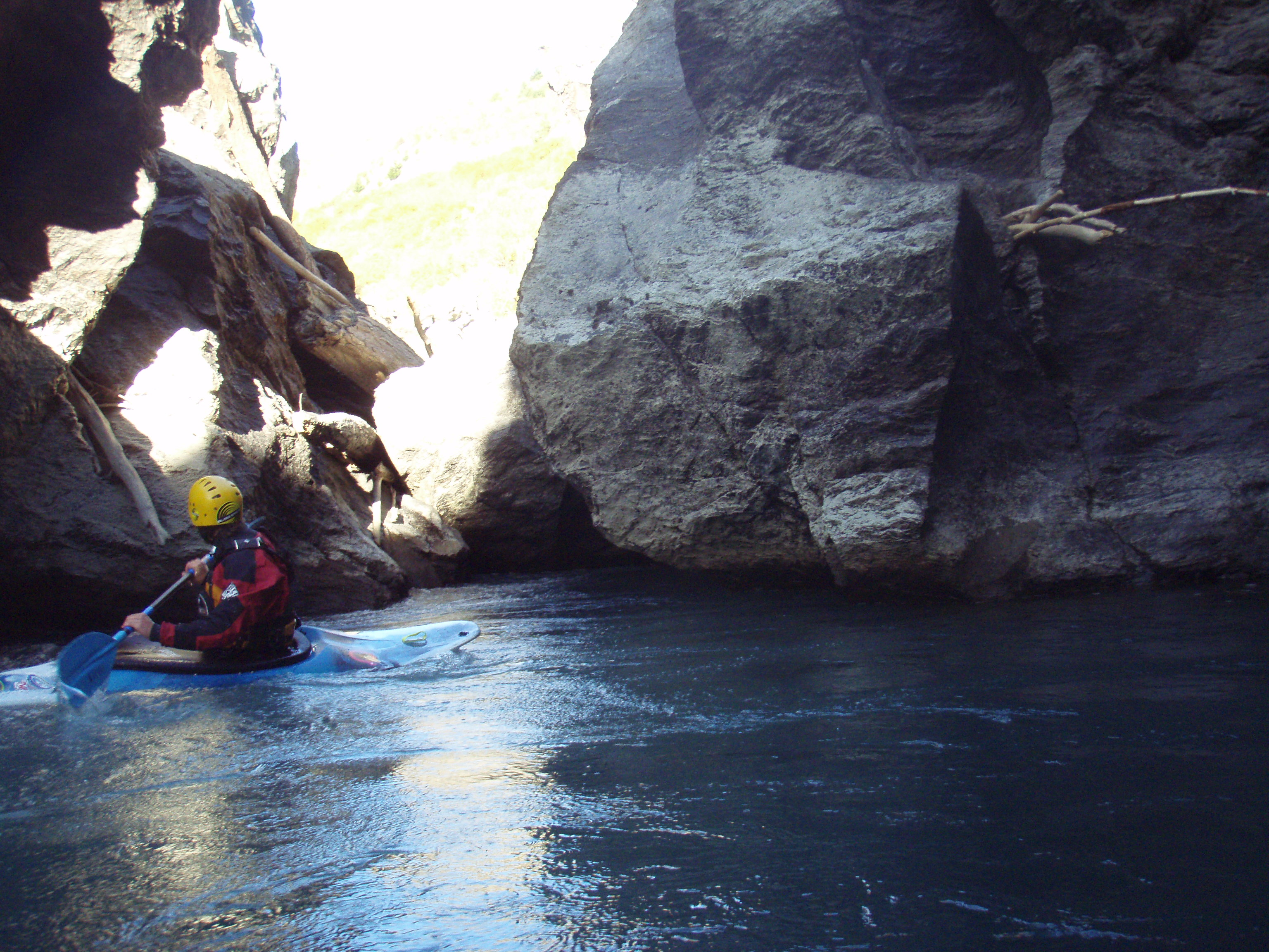
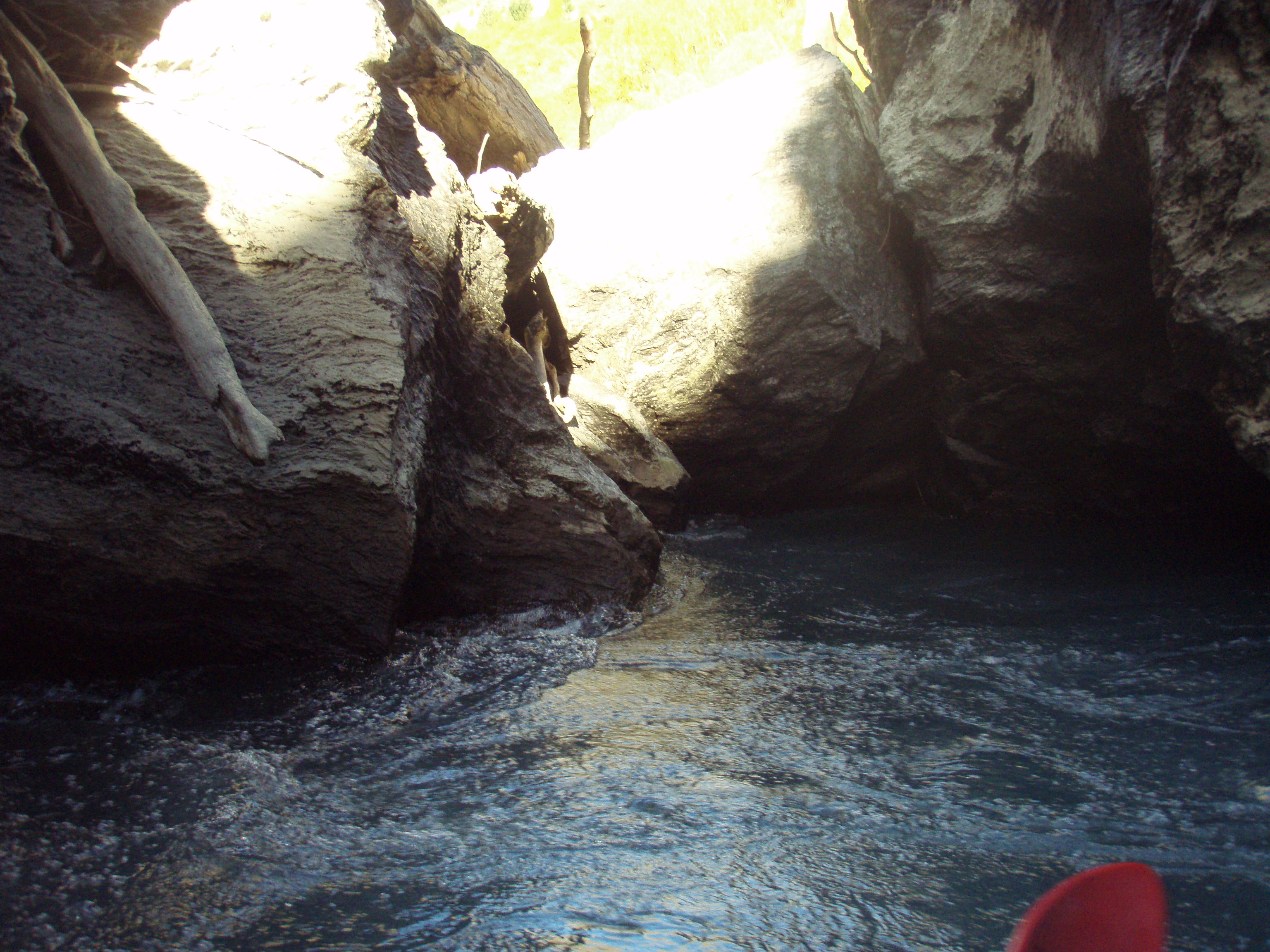
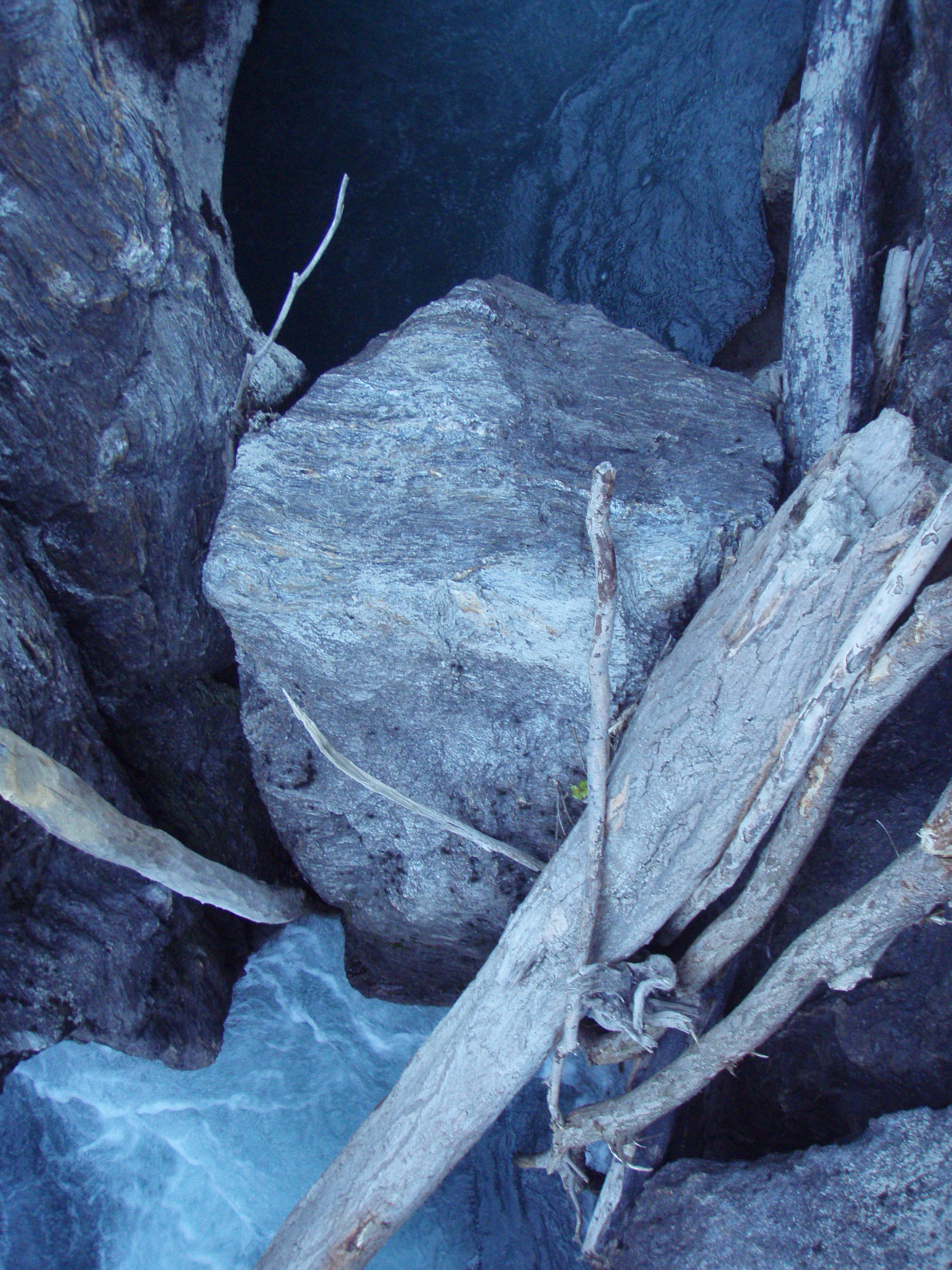
Kawarau River Natural Bridge/Rock Arch
| simon |
Posted
:
Monday, 6 June 2011 5:45:43 PM(UTC)
|
||
 Rank: Gold Ingot Groups: Registered
Joined: 7/01/2011(UTC) Posts: 789  Location: Central Otago Thanks: 33 times
Was thanked: 239 time(s) in 150 post(s) |
|||
|
|
|||
| NoelBecker51 |
Posted
:
Tuesday, 23 August 2011 12:10:39 AM(UTC)
|
||
|
Rank: Gold Dust Groups: Registered
Joined: 22/08/2011(UTC) Posts: 0 Location: Cromwell, NZ Thanks: 1 times
|
|||
|
|
|||
| kiwijw |
Posted
:
Tuesday, 23 August 2011 8:26:49 AM(UTC)
|
||
 Rank: Gold Ingot Groups: Registered
Joined: 28/03/2010(UTC) Posts: 1,152 Thanks: 92 times
Was thanked: 658 time(s) in 324 post(s) |
|||
|
|
|||
| NoelBecker51 |
Posted
:
Tuesday, 23 August 2011 9:17:17 AM(UTC)
|
||
|
Rank: Gold Dust Groups: Registered
Joined: 22/08/2011(UTC) Posts: 0 Location: Cromwell, NZ Thanks: 1 times
|
|||
|
|
|||
| kiwijw |
Posted
:
Tuesday, 23 August 2011 10:46:48 PM(UTC)
|
||
|
Rank: Gold Ingot Groups: Registered
Joined: 28/03/2010(UTC) Posts: 1,152 Thanks: 92 times
Was thanked: 658 time(s) in 324 post(s) |
|||
|
|
|||
| NoelBecker51 |
Posted
:
Tuesday, 23 August 2011 10:56:10 PM(UTC)
|
||
|
Rank: Gold Dust Groups: Registered
Joined: 22/08/2011(UTC) Posts: 0 Location: Cromwell, NZ Thanks: 1 times
|
|||
|
|
|||
| kiwijw |
Posted
:
Wednesday, 24 August 2011 8:17:42 AM(UTC)
|
||
|
Rank: Gold Ingot Groups: Registered
Joined: 28/03/2010(UTC) Posts: 1,152 Thanks: 92 times
Was thanked: 658 time(s) in 324 post(s) |
|||
|
|
|||
| Skipper |
Posted
:
Friday, 16 September 2011 10:15:44 AM(UTC)
|
||
|
Rank: Gold Dust Groups: Registered
Joined: 17/08/2011(UTC) Posts: 3 Location: Central Otago Thanks: 1 times
Was thanked: 2 time(s) in 2 post(s) |
|||
|
|
|||
| daywalk |
Posted
:
Friday, 31 January 2014 8:30:34 PM(UTC)
|
||
|
Rank: Gold Dust Groups: Registered
Joined: 31/01/2014(UTC) Posts: 1 |
|||
|
|
|||
Old Paydirt Forum Archive
»
Gold Prospecting, Fossicking and Mining
»
Locations
»
Kawarau River Natural Bridge/Rock Arch